Log in
All resources
Create a design
33,741 Free Images of 1732 Maps
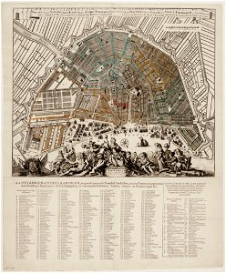
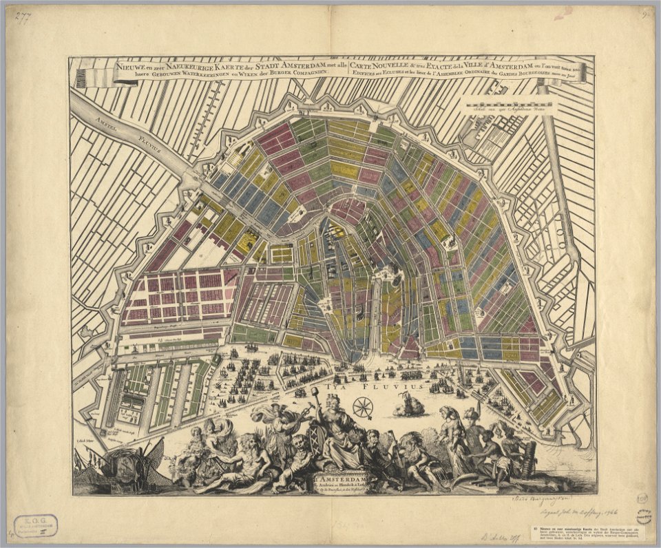
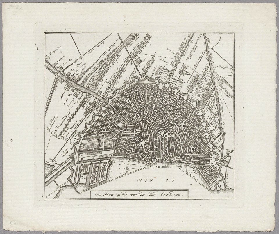
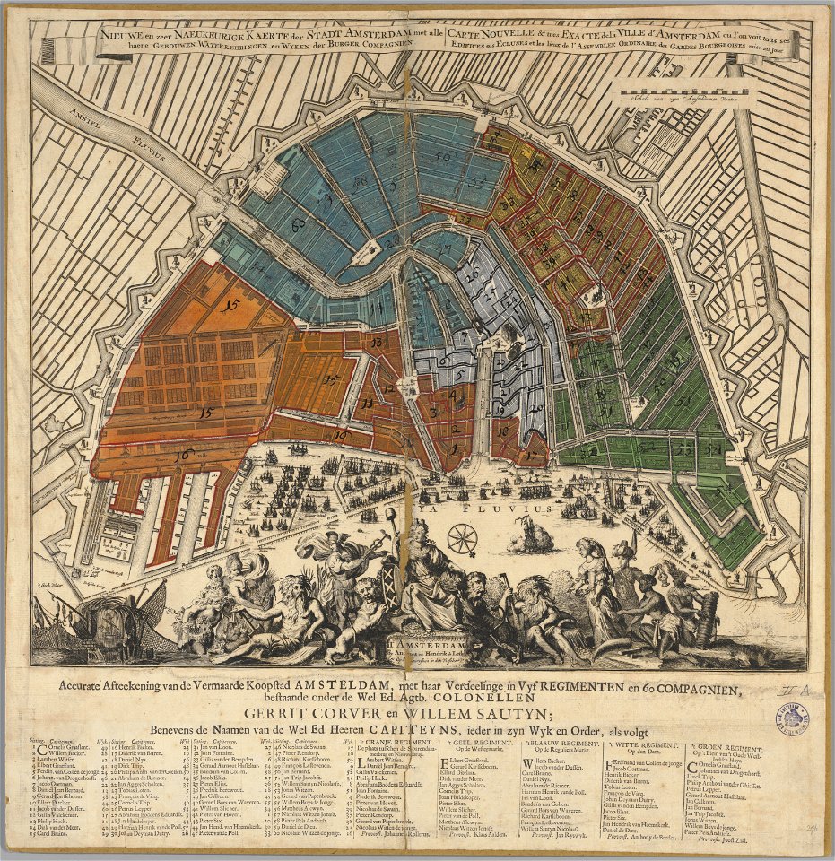
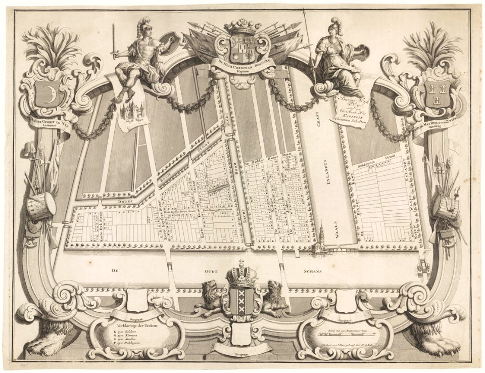
maps in the stadsarchief amsterdam
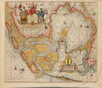
charts and maps of the royal museums greenwich
maps made in the 17th century
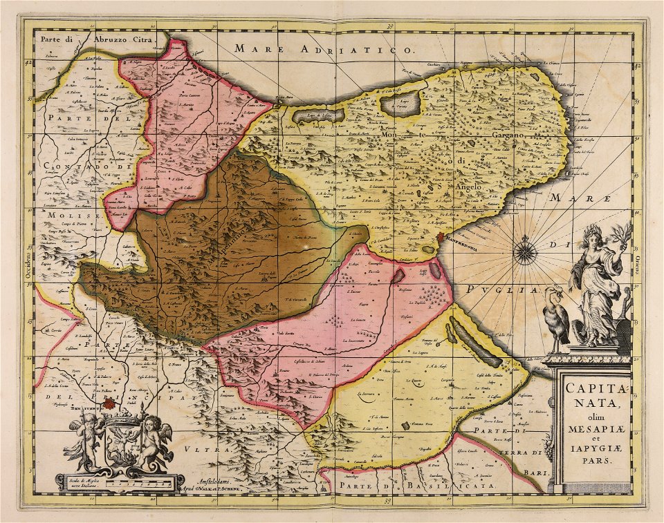
maps by pieter schenk (i)
hendrik de leth
gerard valck
atlantis magni tomus quartus (biblioteca comunale di trento)
description de l'universe
jan caspar philips
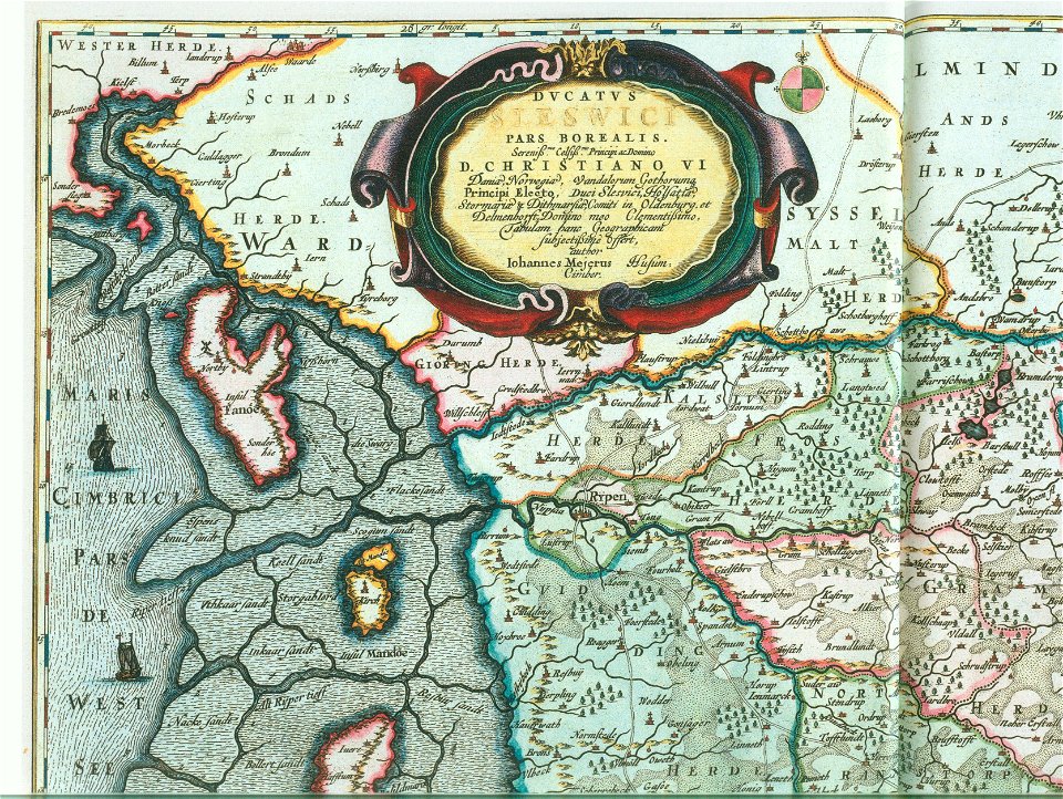
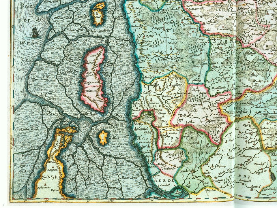
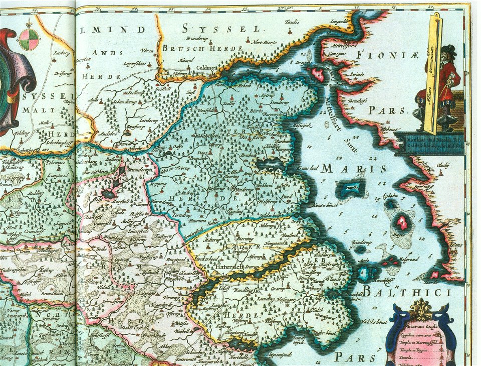
ducatus sleswici pars borealis
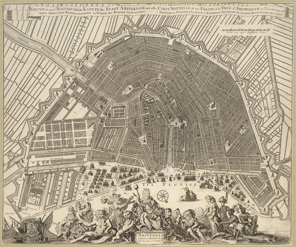
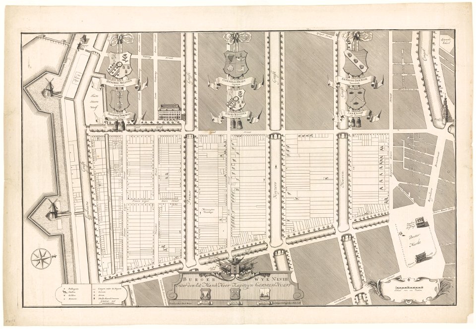
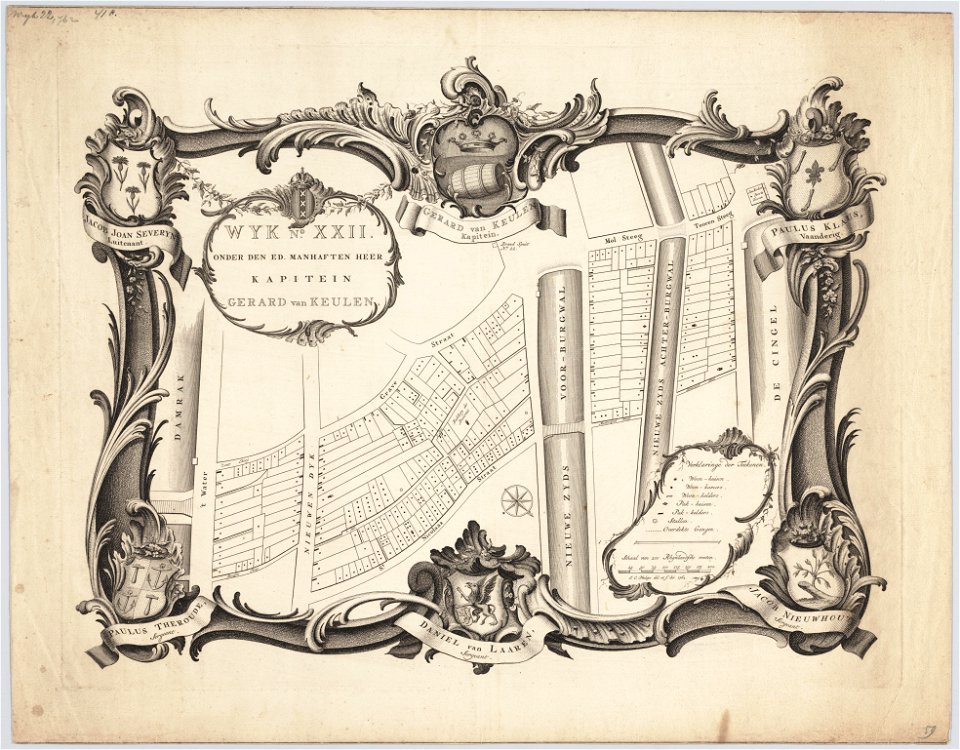
maps in the stadsarchief amsterdam
hendrik de leth
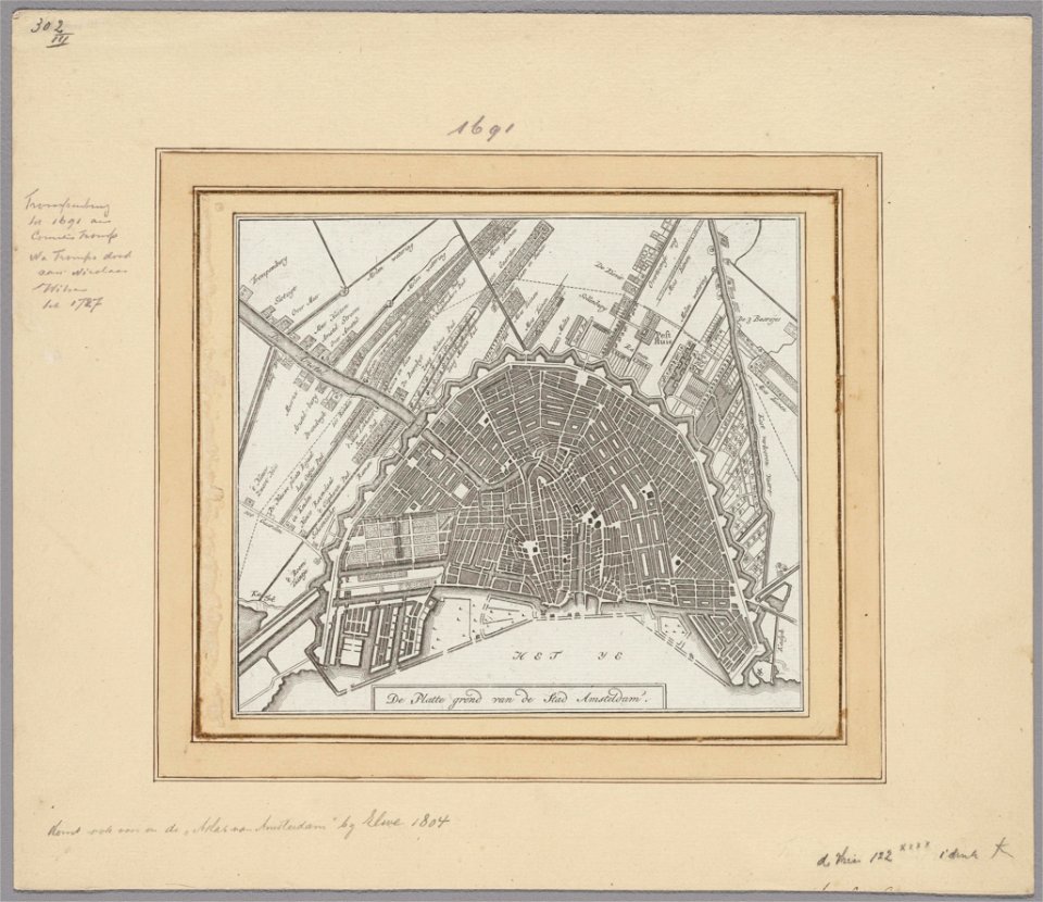
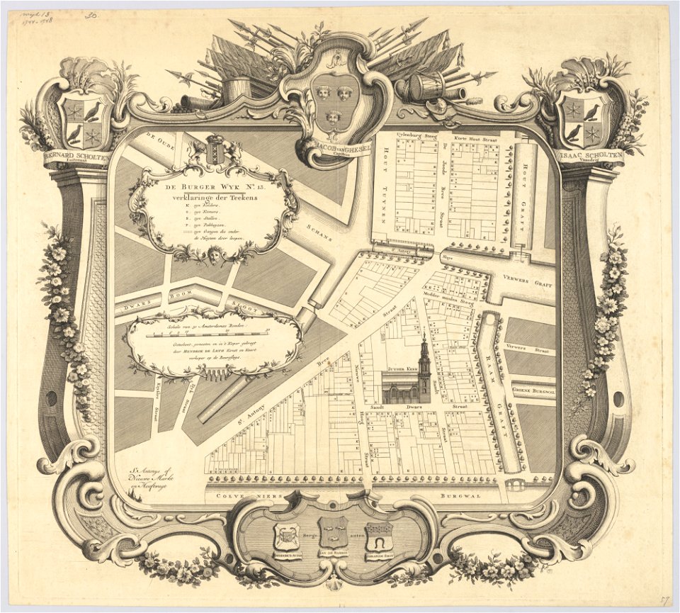
maps in the stadsarchief amsterdam
hendrik de leth
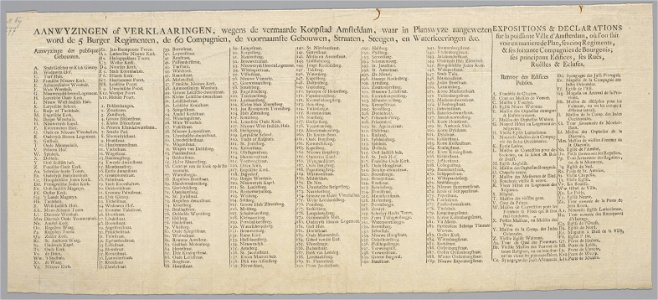
maps in the stadsarchief amsterdam
hendrik de leth
maps in the stadsarchief amsterdam
hendrik de leth
maps in the stadsarchief amsterdam
hendrik de leth
maps in the stadsarchief amsterdam
hendrik de leth
maps in the stadsarchief amsterdam
hendrik de leth
encyclopaedia universalis mundaneum
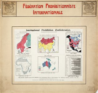
alcohol prohibition
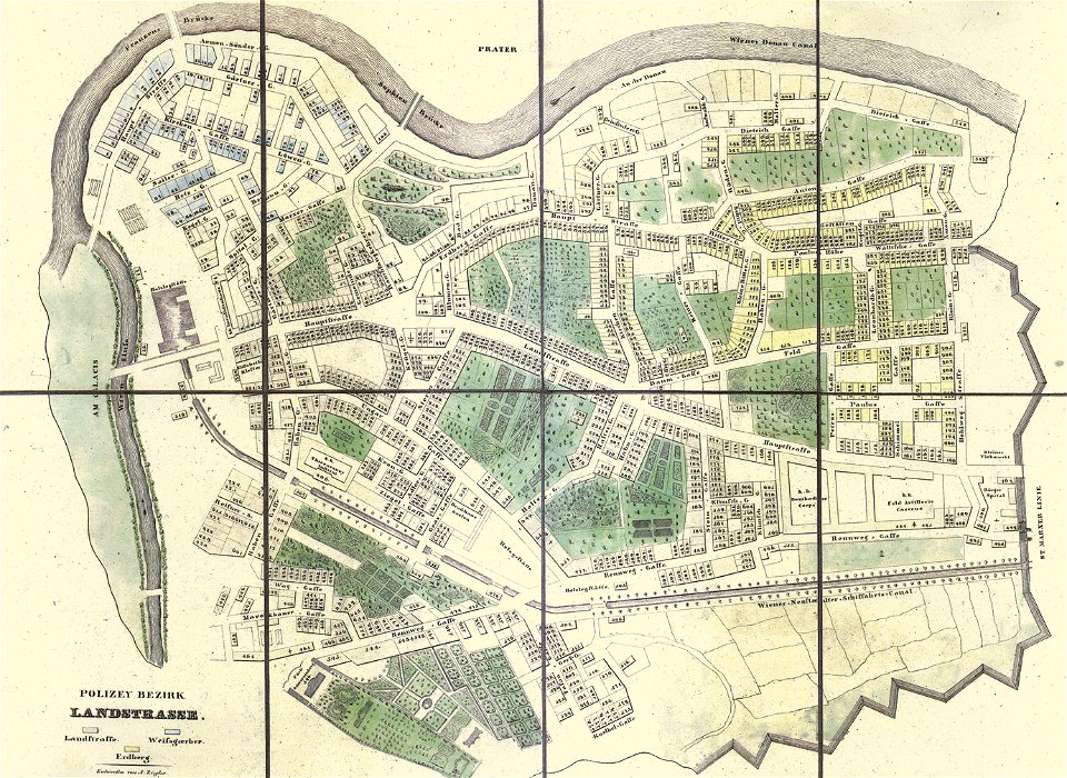
old maps of landstraße (vienna)
carl graf vasquez
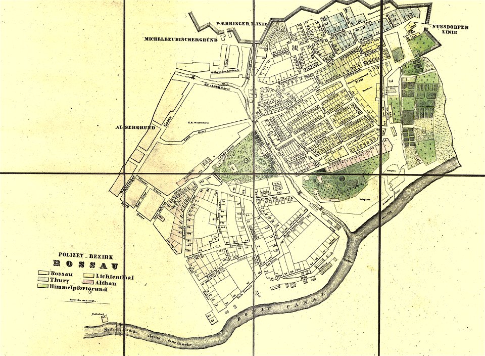
old maps of alsergrund
carl graf vasquez
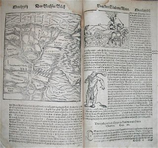
illustrations of cosmographia (münster)
1570s maps of egypt
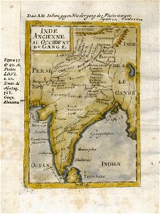
17th-century maps of india
description de l'universe
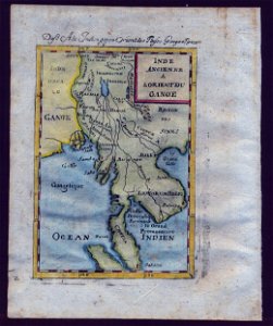
old maps of southeast asia
description de l'universe
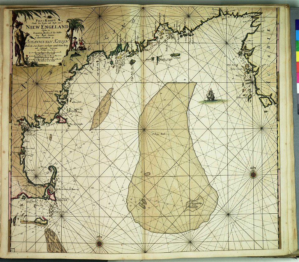
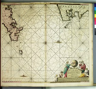
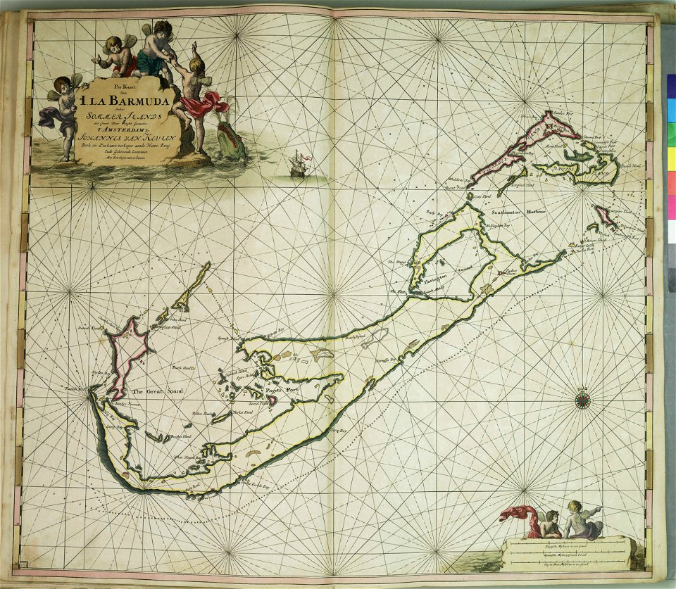
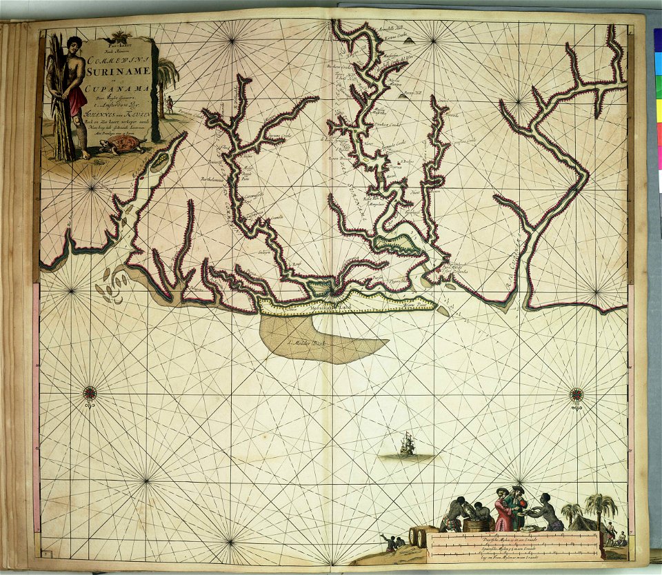
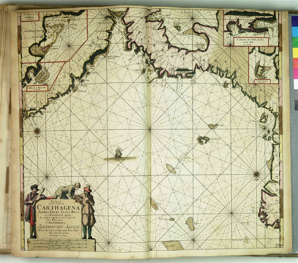
johannes van keulen
zuiderzeemuseum
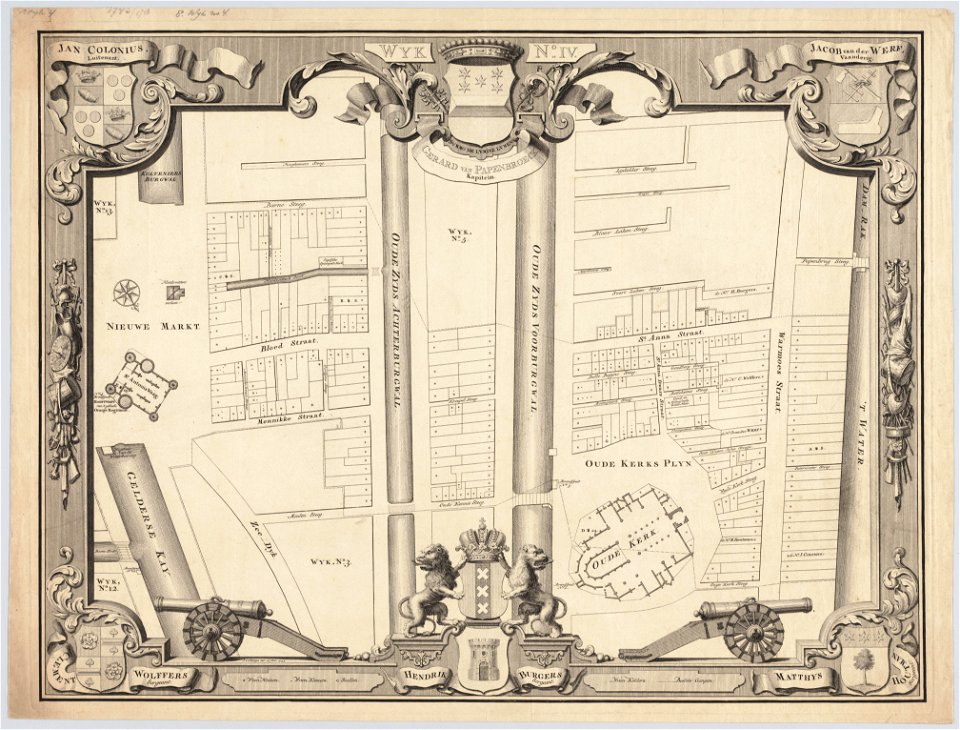
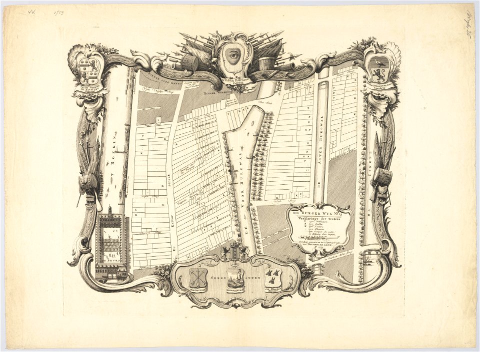
maps in the stadsarchief amsterdam
hendrik de leth
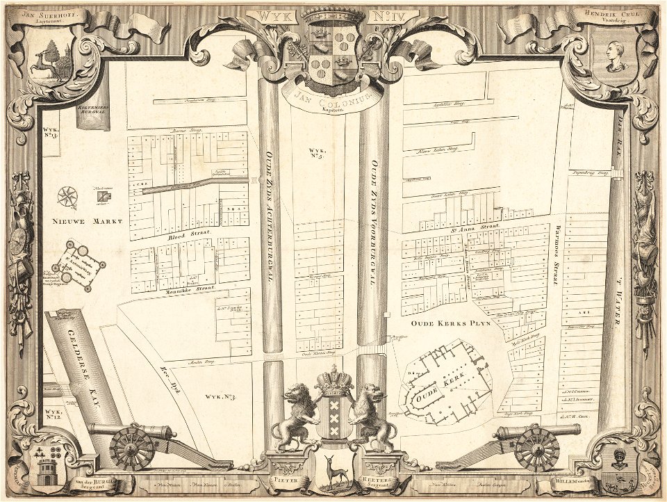
maps in the stadsarchief amsterdam
hendrik de leth
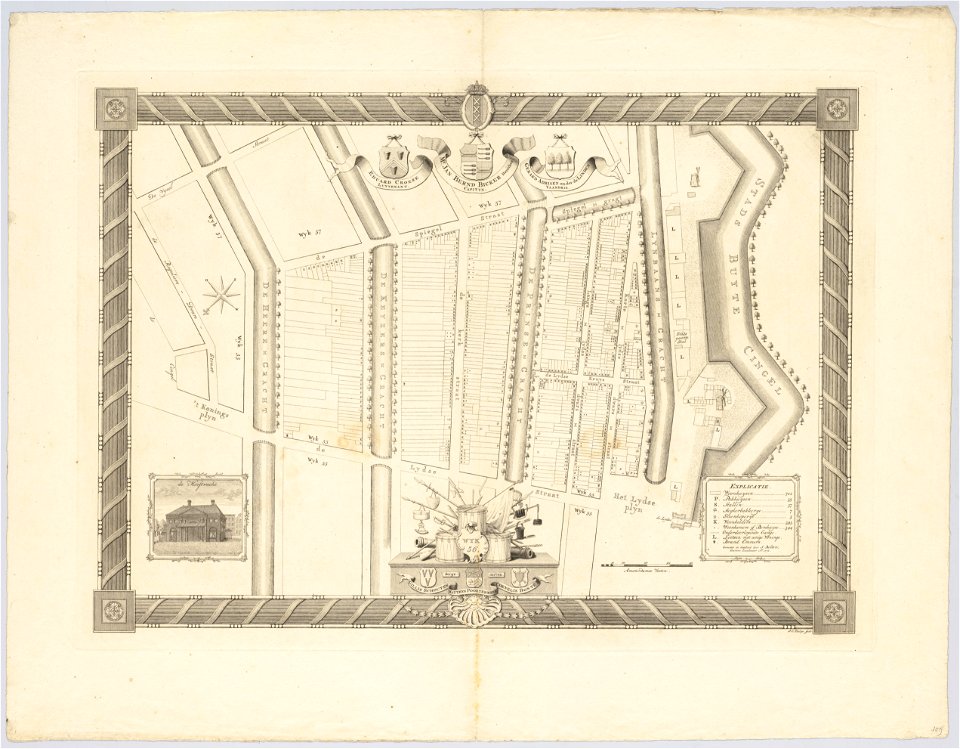
maps in the stadsarchief amsterdam
hendrik de leth
maps in the stadsarchief amsterdam
hendrik de leth
maps in the stadsarchief amsterdam
hendrik de leth
maps in the stadsarchief amsterdam
hendrik de leth
maps in the stadsarchief amsterdam
hendrik de leth
maps in the stadsarchief amsterdam
hendrik de leth
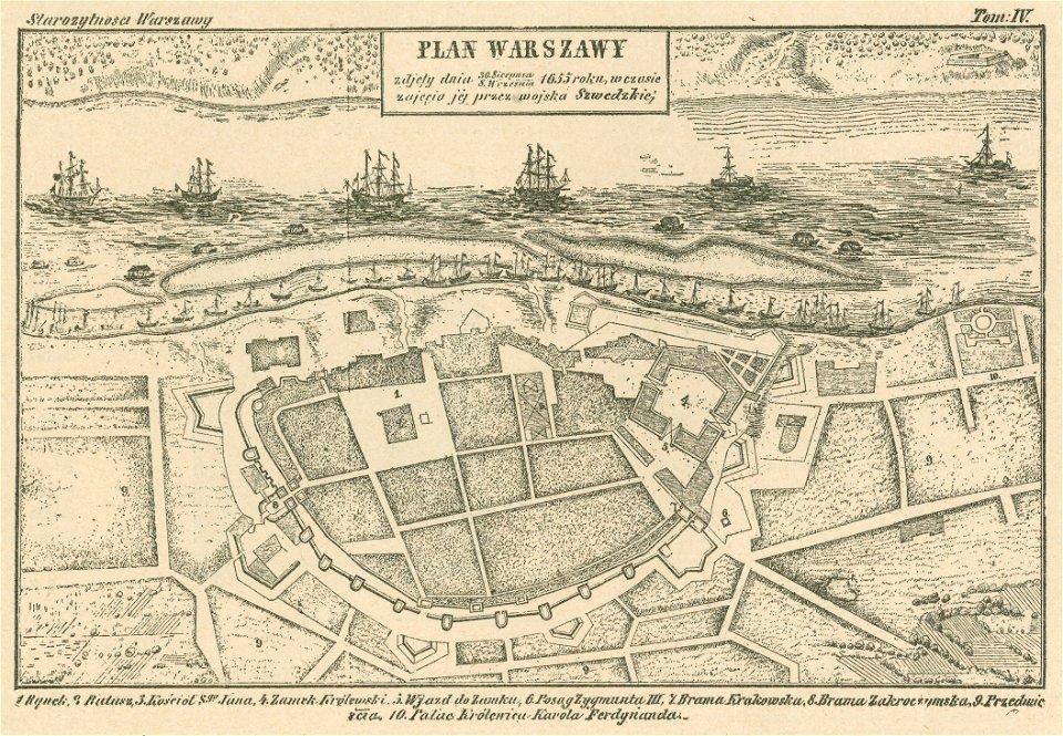
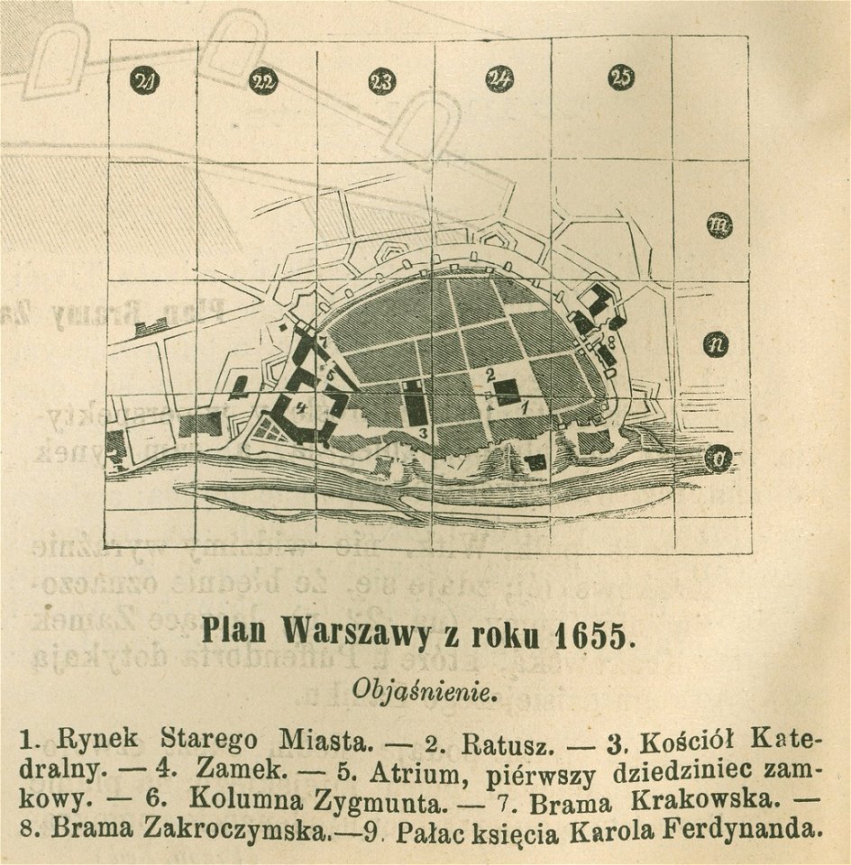
historical maps of warsaw
warsaw in the 1650s
historical maps of warsaw
warsaw in the 1650s
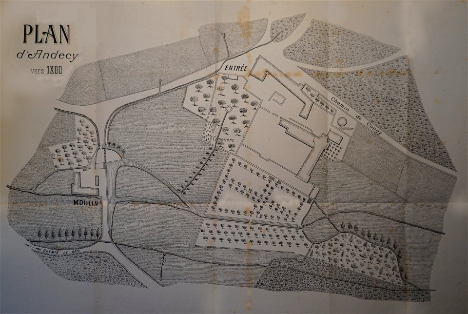
abbaye d'andecy
1890 in marne
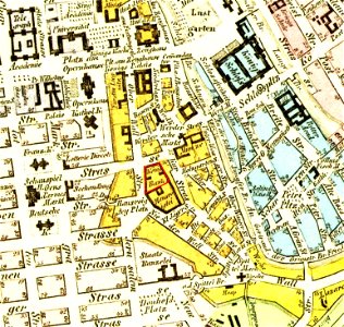
parts of old maps of berlin
königliche hauptbank
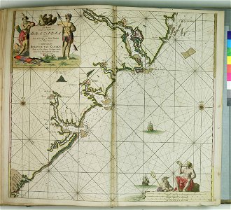
charts and maps of the royal museums greenwich
charts and maps of the royal museums greenwich
charts and maps of the royal museums greenwich
old maps of galicia (spain)
johannes van keulen
charts and maps of the royal museums greenwich
charts and maps of the royal museums greenwich
charts and maps of the royal museums greenwich
charts and maps of the royal museums greenwich
charts and maps of the royal museums greenwich
charts and maps of the royal museums greenwich
charts and maps of the royal museums greenwich
charts and maps of the royal museums greenwich
charts and maps of the royal museums greenwich
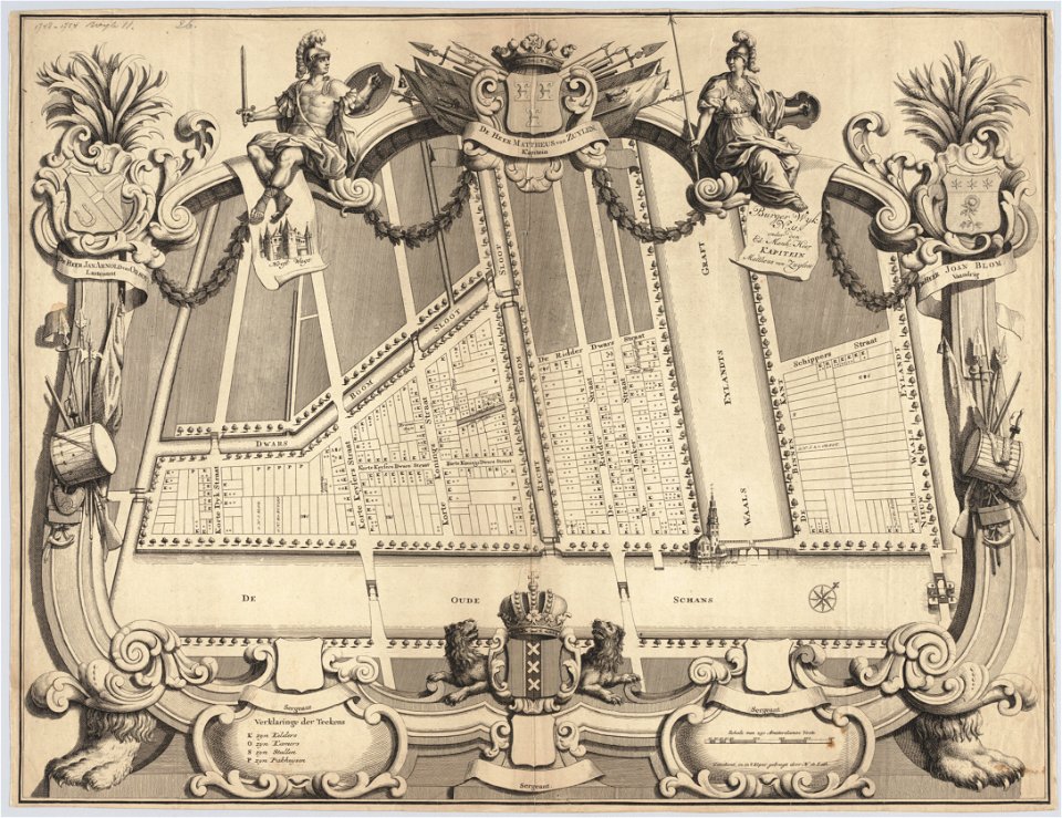
maps in the stadsarchief amsterdam
jan caspar philips
maps in the stadsarchief amsterdam
jan caspar philips
maps in the stadsarchief amsterdam
jan caspar philips
maps in the stadsarchief amsterdam
jan caspar philips
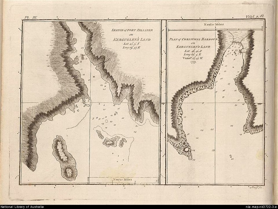
old maps of the kerguelen islands
port-christmas
description des principales villes (1690)
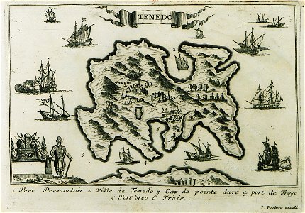
maps of bozcaada
charts and maps of the royal museums greenwich
charts and maps of the royal museums greenwich
charts and maps of the royal museums greenwich
charts and maps of the royal museums greenwich
charts and maps of the royal museums greenwich
provided by landsbókasafn íslands
old maps of iceland
charts and maps of the royal museums greenwich
popular science monthly illustrations/volume 11
astronomical maps
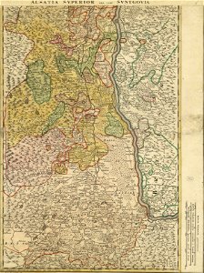
ducatus sleswici pars borealis
maps by johannes mejer
ducatus sleswici pars borealis
maps by johannes mejer
ducatus sleswici pars borealis
maps by johannes mejer
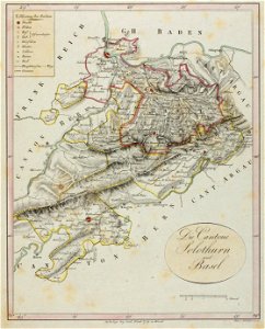
historical images of solothurn
old maps of switzerland
description de l'universe
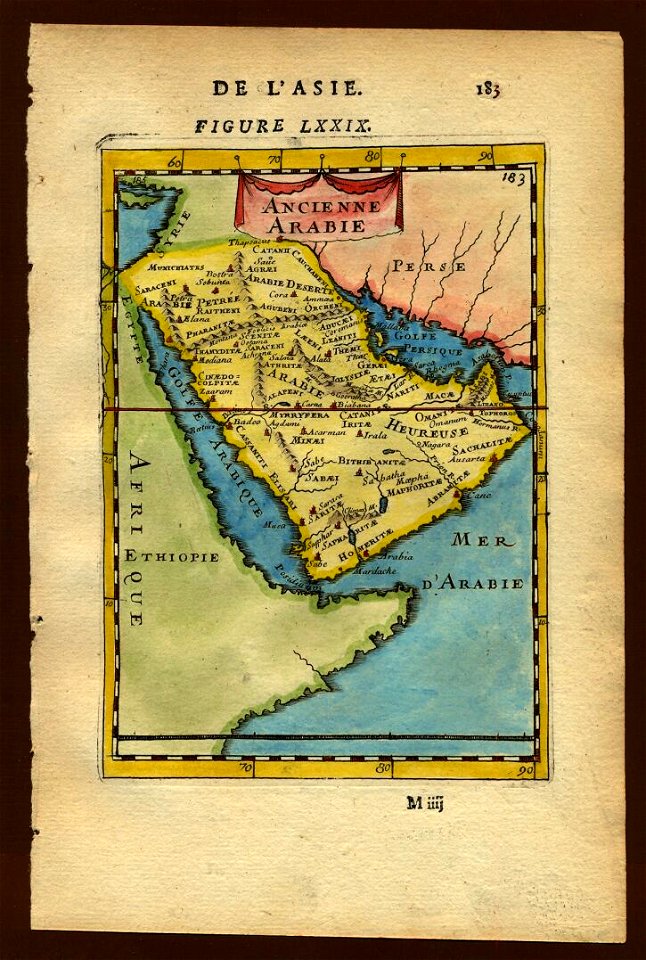
old maps of saudi arabia
description de l'universe
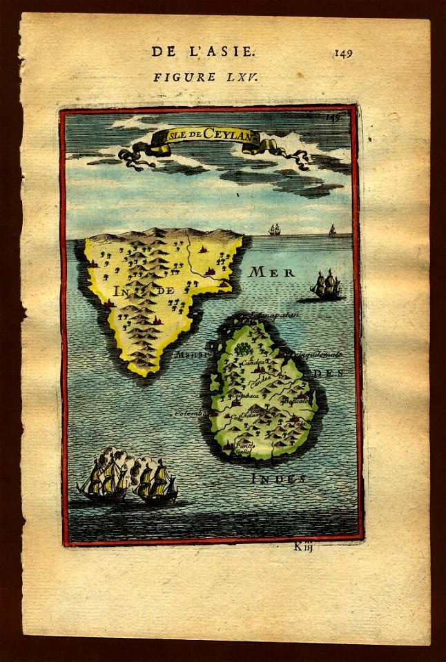
old maps of sri lanka
geographical illustrations by coronelli
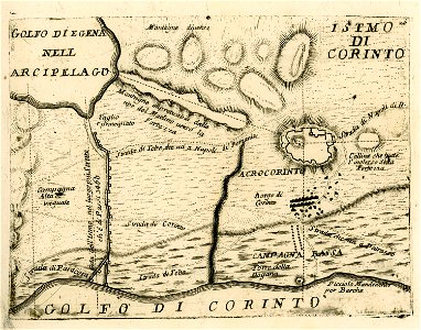
maps of ancient corinth
description de l'universe
old maps of saudi arabia
ducatus sleswici pars borealis
maps by johannes mejer
maps in the stadsarchief amsterdam
hendrik de leth
maps in the stadsarchief amsterdam
hendrik de leth
maps from the mechanical curator collection available to georeference
maps from the mechanical curator collection
maps from the mechanical curator collection available to georeference
maps from the mechanical curator collection
maps from the mechanical curator collection available to georeference
maps from the mechanical curator collection
jean-baptiste wicar
neoclassicism
carta hydrographica y chorographica de las yslas filipinas
baroque painting
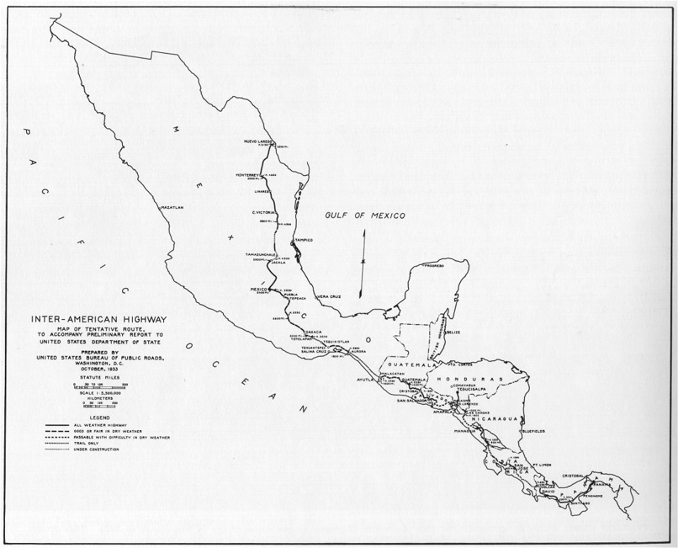
1933 in road transport
road map
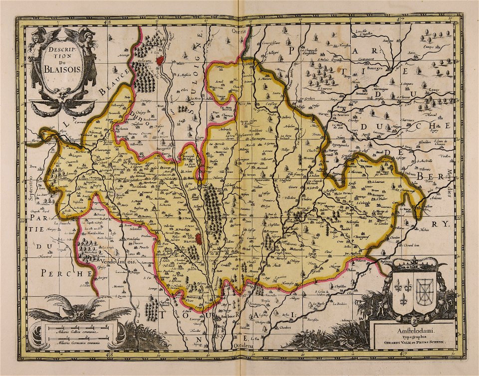
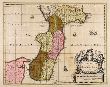
maps made in the 17th century
gerard valck
maps made in the 17th century
gerard valck
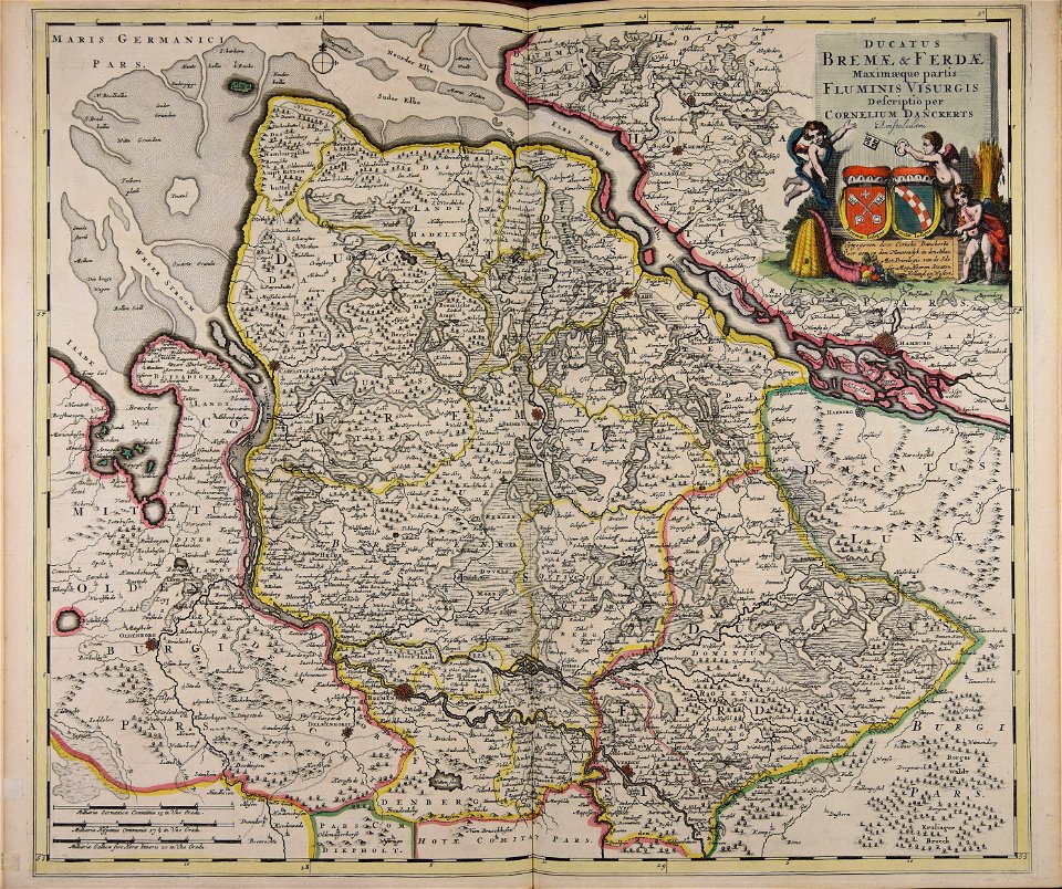
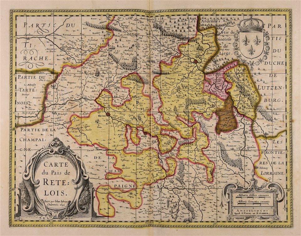
maps made in the 17th century
cornelis danckerts (ii)
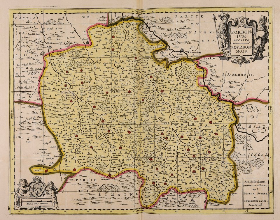
maps made in the 17th century
gerard valck
sala del mappamondo (palazzo vecchio)
ignazio danti
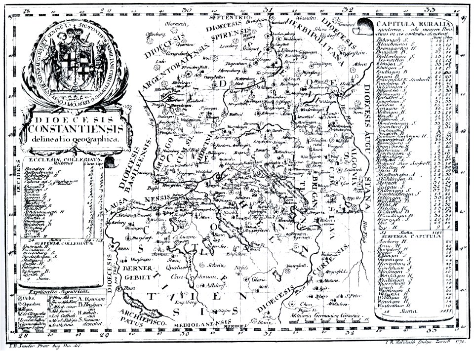
bishopric of constance
1779 in germany
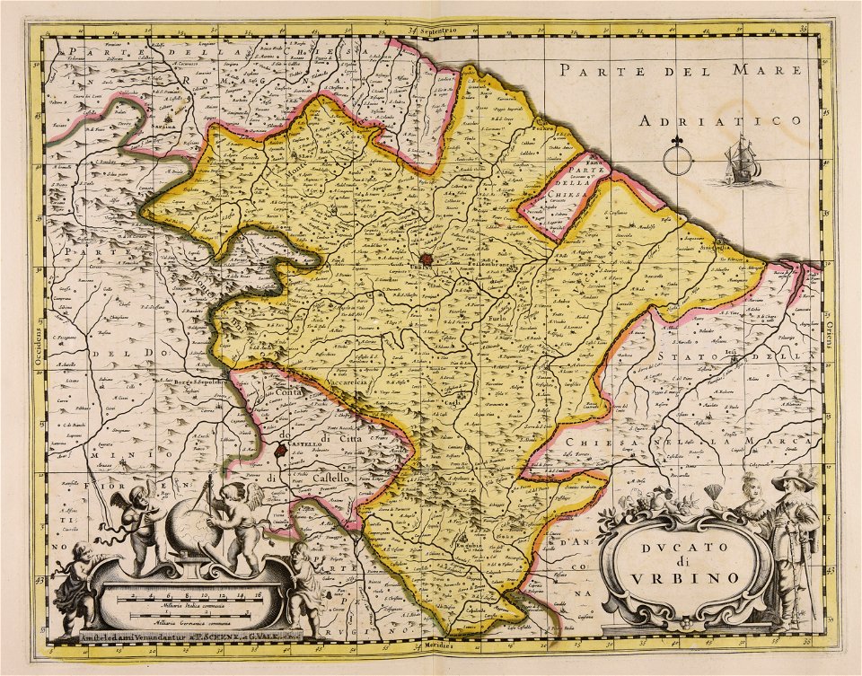
maps made in the 17th century
gerard valck
collections de la bibliothèque nationale et universitaire de strasbourg
johann baptist homann
mobile river
alabama
maps made in the 17th century
gerard valck
maps made in the 17th century
gerard valck
maps made in the 17th century
gerard valck
maps made in the 17th century
gerard valck
maps made in the 17th century
gerard valck
maps made in the 17th century
gerard valck
maps of the united kingdom of great britain and ireland
ireland in the 1900s
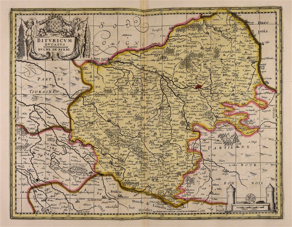
maps made in the 18th century
maps by pieter schenk (i)
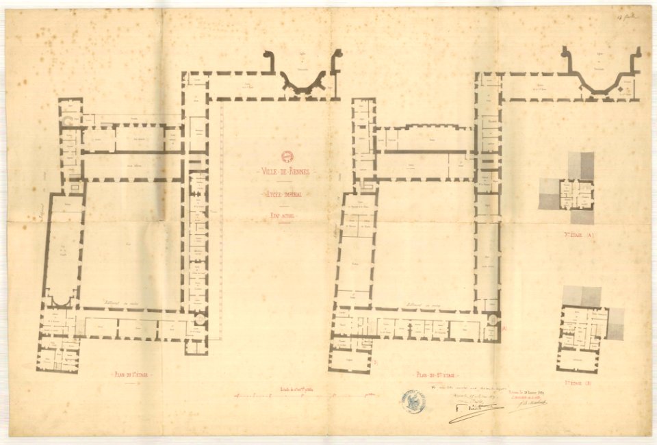
jean-baptiste martenot
old maps of rennes
maps made in the 17th century
gerard valck
maps made in the 17th century
gerard valck
maps made in the 17th century
gerard valck
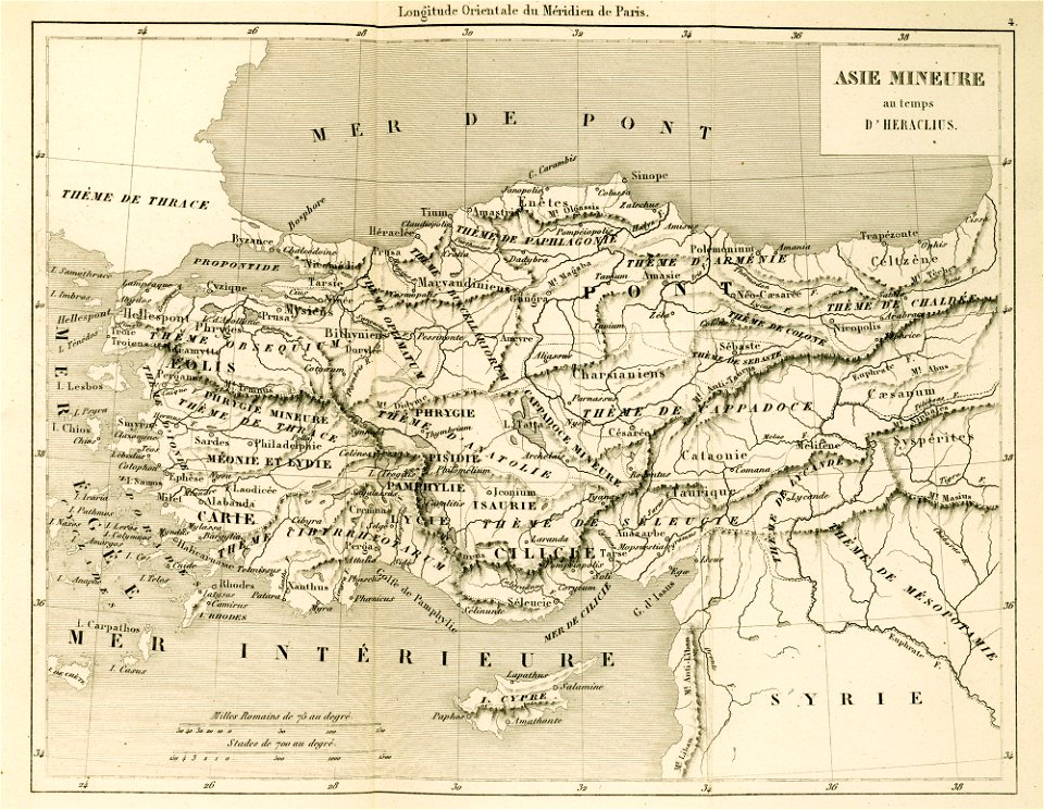
maps of the byzantine empire
maps of anatolia
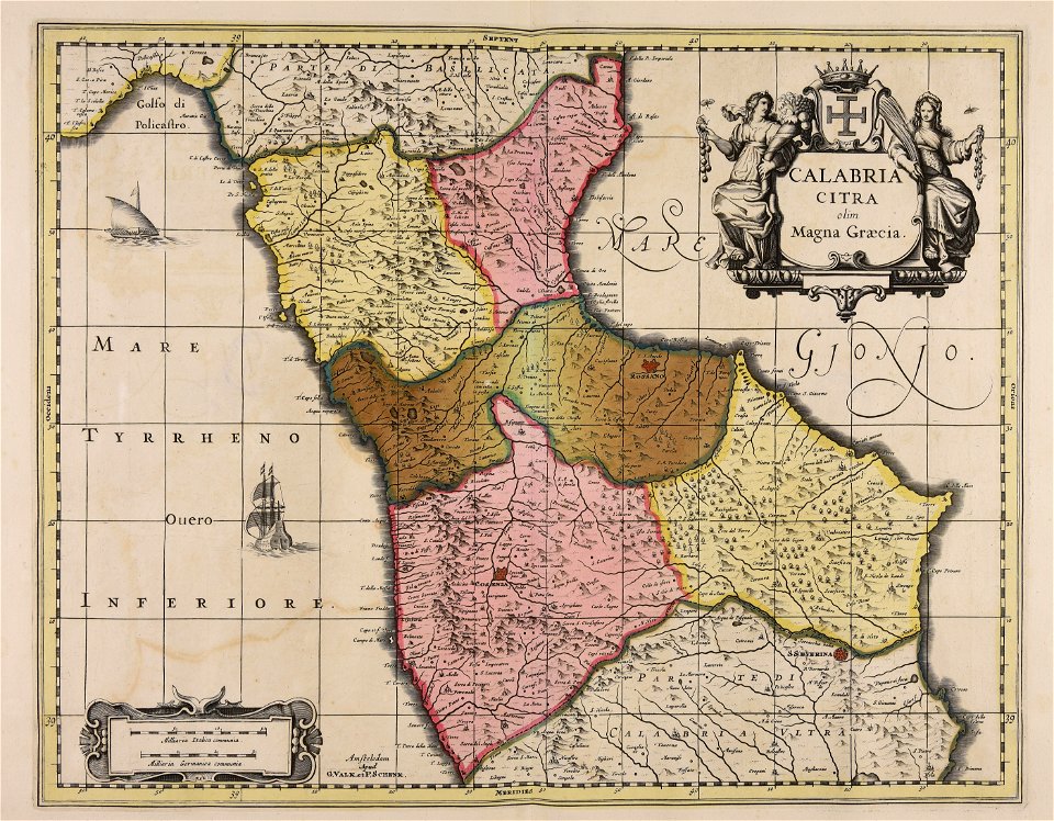
maps made in the 17th century
gerard valck
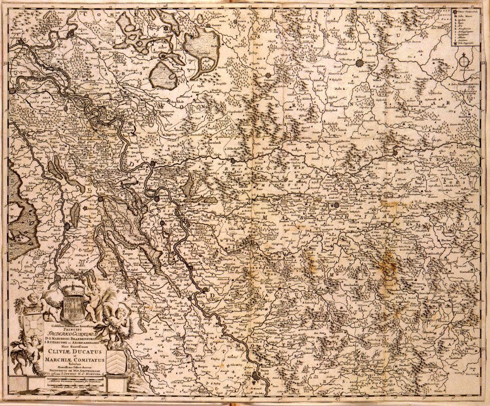
old maps of pomerania
rudens
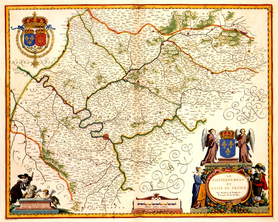
maps with cartouches
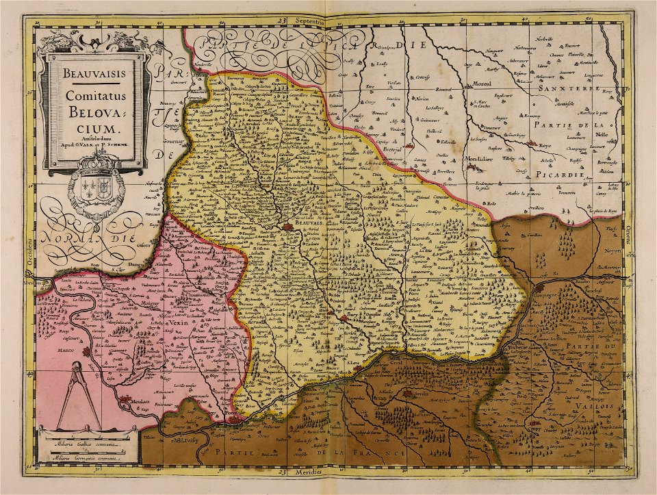
covens en mortier
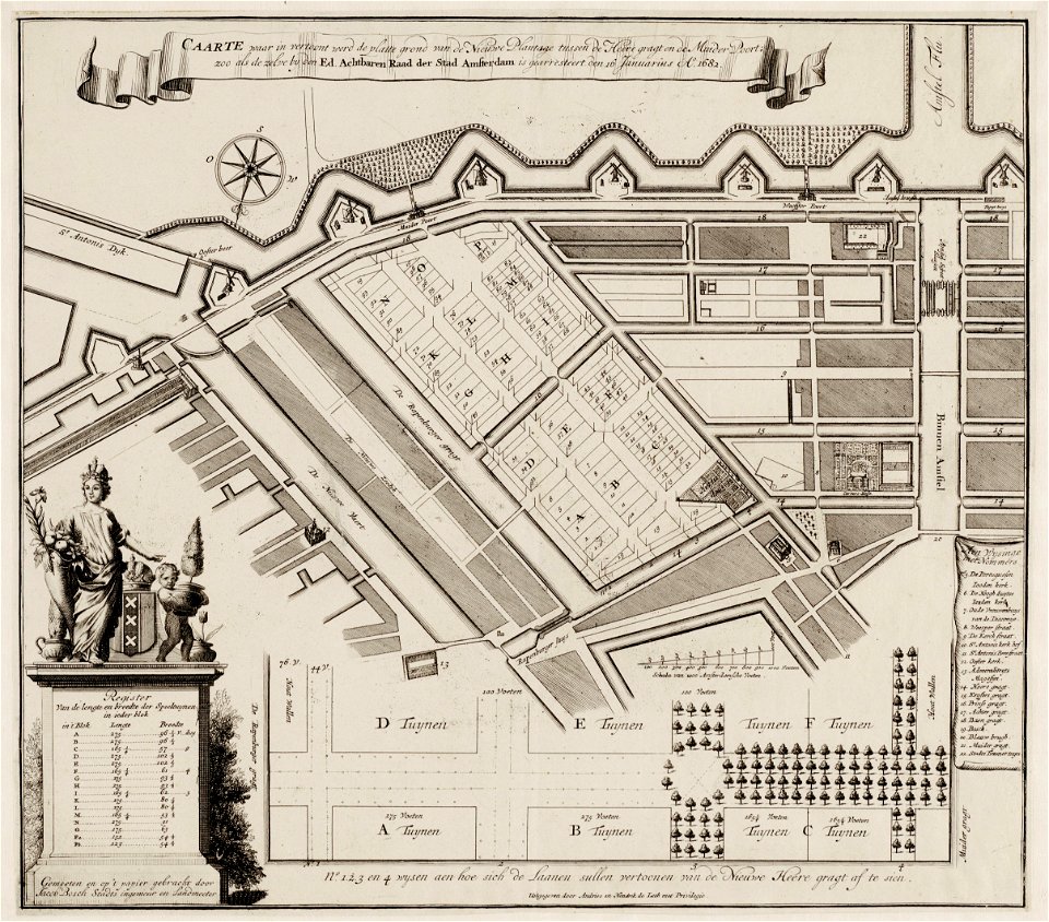
amsterdam in the 1680s
maps with cartouches
17th-century maps of france
maps with cartouches
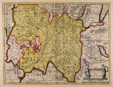
maps made in the 17th century
gerard valck
maps made in the 17th century
gerard valck
maps made in the 17th century
guillaume sanson
6601 - 6700 of 33,741
Next page
/ 338